Students will create 3 maps in their notebook (one page each) to bring to class. Use color. ex: include a rim of color around pertinent states and portray each river with a colored line.
Give each map a title.
Sketch closely or trace from a Google map.
a) Louisiana`s rivers and large lakes.
Identify 5 principal cities, 5 rivers, 3 lakes and the Gulf of Mexico.
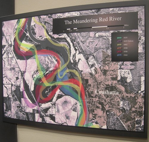
b) Shreveport and the Red River.
Identify 5 historic streets (Texas, Commerce, Market, Spring & Fannin), 2 bridges, CMHS, BAFB, La Boardwalk and the riverfront parkways.
c) The Miss Valley: Miss R, Ohio R, Tennessee R, Missouri R, Arkansas R, Red R.
Sketch and identify the 10 states which flank the Miss R.
skip to main |
skip to sidebar
For students and parents who love education and exploration of the social sciences . . .
Search This Blog
Followers
Blog Archive
-
▼
2011
(242)
-
▼
August
(28)
- Huck and Jim, 2011, geography class narrative on r...
- 12 pt narrative project: A river ride down the MIs...
- Eid Mubarak! A celebration after the Muslim month ...
- Source of much of America's electricity: cheap coa...
- Geography: Aquifers and derricks
- Understanding the term "regions": maps of the I-20...
- Comparing population trends using lines of latitude
- For your projects in world geo: a printable blank ...
- Demonstrating knowledge of the global grid: Google...
- Shreveport Times: Take a truly regional approach t...
- Author John Corey Whaley of Springhill chats about...
- K'naan: a young singer from Somalia
- Patterns in the lines of latitude: great cities
- Additional materials: Mississippi watershed map
- What to do with the class blog? Copy and highlight
- Assignment 4: copy and color a world map that show...
- My Very Early Morning Jam Sandwich Usually Nauseat...
- Earth's crust and the other delicious parts
- Ciao!
- Where did all your body water go, dear Ramses?
- Guidelines for papers & projects, 2011 - 2012
- How to identify locations on spaceship earth: cook...
- Assignment 3 / Mississippi River tributaries: Ohio...
- Asssignment 2: Shreveport, the Red River and Cross...
- Solar panel breakthrough engineered by 13 year-old...
- Notebook and fee in geography / Trudeau, 2011-2012
- Assignment 1: map of Louisiana's rivers, lakes & c...
- Waterways and Louisiana Project: from the Red Rive...
-
▼
August
(28)

