Week of Sept 19: the types of maps we can use to render the earth and our neighborhoods.
Cartography is what we call this business. Here's Wikipedia's overview: Wikipedia.com/cartography.
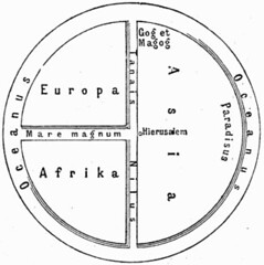
Also, here's a sample of the history of cartography: Mapping.
When we meet our objectives in map types, we will apply what we've learned to a study of Manhattan and Brooklyn, or N Y C. The purpose of the New York unit is to get you ready to visit the Big Apple and to understand the forces that have made it the world's business and culture capital.
Subscribe to:
Post Comments (Atom)

No comments:
Post a Comment